Google Maps to the Rescue
View Larger Map
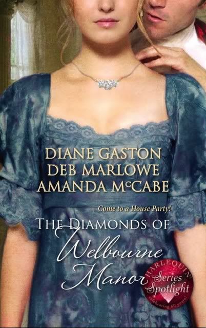
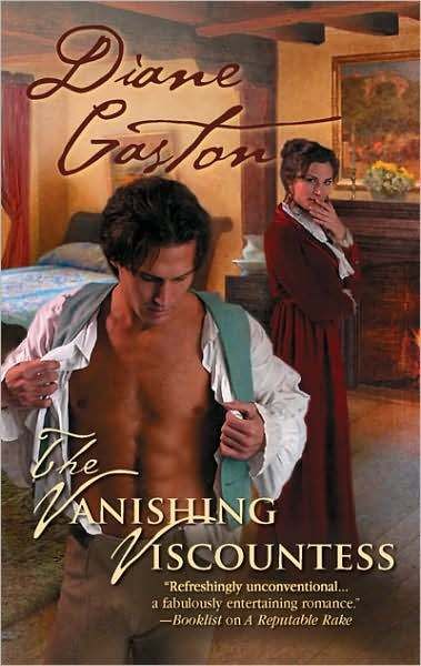
This is the map of Tanner and Marlena's journey across the English and Scottish countryside in my January release, The Vanishing Viscountess. Click on the pointers to see some of the details of the trip.
When I first conceived the story for The Vanishing Viscountess, I didn't think about the challenges of doing a Road Story. All of a sudden I had to research a dozen locations instead of one or two! What was I thinking? I needed HELP.
First of all, I needed a route for my characters to travel. Our very own Noodler, Delle Jacobs, saved me there by giving me the coaching routes of the time period. After that it was Google Maps to the rescue!
How did Google Maps help?
1. By showing the route.
By using the Get Directions feature, I plugged in Delle's information, and I could literally see on the Google map how my characters would travel across the country.
2. By providing the distance between places.
The Get Directions feature also provided the distance between points on the map. I needed to set a realistic pace for my characters, to make sure that each day they traveled a realistic distance for Regency times.
3. By giving names of towns, villages, rivers, streams, street names, and so on.
When I knew my distances, I also discovered the likely places my characters would stop for the night. Then I could use other search engines (like my favorite one, Answers.com) to research those places.
4. By showing me details I didn't know.
Like where bridges were, turns in the road, things like that. The satellite feature was helpful because it showed the actual terrain. I could even zoom in on buildings, which would be useful if you write contemporary fiction.
After I finished The Vanishing Viscountess and started talking and blogging about using Google Maps, I learned of a new Google feature in Google Earth that is ideal for historical research. I use this feature all the time now.
Google Earth is free for download here
On the left, under the menu “layer,” set view on “core.” Under core, click on Gallery. Under Gallery, click on Rumsey Historical Maps and then Map Finder. The maps I use are the 1790 maps of the UK and the 1843 map of London, but there are special maps all over the world.
 The cool thing is, the historical maps overlay the Google Earth map and the Google Map functions still work. I can plot distances my characters need to travel in the UK and London and I am looking at the area as it would have in that historical time period.
My map of Tanner and Marlena’s trip even shows up on Google Earth and on the historical map overlaying it.
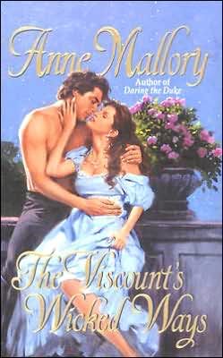
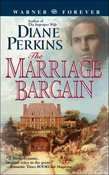
The Vanishing Viscountess is still available on eHarlequin (at 40% off) and at Amazon.com.
Do you use maps, Google or otherwise, to help you with your research?
Labels: Google Maps, The Vanishing Viscountess






















































12 Comments:
I haven't used Google maps for research before, but since you wrote this article, I most likely will in future. What a great tool! Thanks for posting about it.
This is why we are doing these blogs, Margay! To share with others what we've learned.
Sometimes using Google Maps (or Mapquest)saves a bunch of time and helps me be more accurate.
Thanks, Diane! I tried going in and marking stops on the Great North Road once.
I'll definitely try the historical research feature.
I love Google Maps -- I spent a lot of the last two days figuring out where my heroine would be hanging in Miami, and how/if she could get from point A to point B by walking (having lived in that neck of the woods, it's not a given on a lot of streets). Plus, I didn't hang in that part of town, and even if I had, it would be totally different now.
The street images and satellite views aren't 'live time' but they're still helpful.
The map feature really helped me when my Blake & Kelli had to get from the isolated mountain cabin to 'somewhere else'. By using the maps, I could figure out how far they could get each day.
Another thing I used -- bus timetables, because they were going to be taking the bus from one point to another, via a circuitous route, so I needed to know where the busses ran, and what time of day they'd be able to travel, etc.
I never knew much about Google maps until you blogged about it on the Riskies, I think. I love this new feature you described! The only bad thing is you can spend hours playing with it! Thanks, O Divine One!
What a great feature, Diane. I'm going to have to use it!
Wow, Diane. This is soooo darn cool!!! I could have really used this when I wrote my first time travel set in Europe. I love technology. Thanks for all of the very cool tips!
That is too cool! What a great resource!
Hey, raise your hands everyone who has thought, "How did people write books before the internet?"
My hand is up, Esri! I have poured over a Road Map book of the UK before I started using the internet maps but it is much harder.
I also call up Greenwoods 1827 map of London a lot. It's on the internet, but the cool thing about the historic map on Google Earth is I can move across the whole map and zoom in and out as needed.
Diane: So what does the historical map show? Streets and towns that don't exist anymore? Changes in river courses? Far fewer roads, I presume.
I wonder who makes them?
The maps are really beautiful, i think.
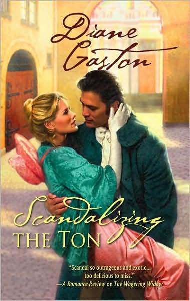
here is the section of Greenwood's map that shows Mayfair, where my next book, Scandalizing the Ton is set
http://tinyurl.com/5x4zxd
The street names are sometimes different. The Mews that are shown here are now buildings, too.
Oh...so these are actual maps from the time. Way cool!
Post a Comment
<< Home
Subscribe to Post Comments [Atom]